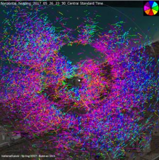
Image above: A radar Trackplot, tracking peak spring migration northward along the shore of Lake Michigan.
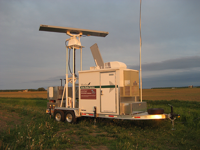
The U.S. Fish and Wildlife Service (FWS) has multiple years of MERLIN Avian Radar System data for the Great Lake Region collected with the two MERLIN units purchased in 2010. The two mobile units were used to conduct surveys to map activity for wind resource areas to support environmental protection and wind energy development for the Region. FWS studied bird and bat activity using avian radar and acoustic bat monitors starting in 2010 to accelerate protection and restoration and development efforts.
Using the MERLIN Avian Radar, FWS was able to develop extensive data on where, at what altitude, and under what conditions birds and bats migrate. From the program, FWS, developed a Decision Support Tool (DST) designed to provide conservation managers with information on important habitat on the ground (i.e. stopover habitat) and in the air (i.e. airspace habitat) and to help guide and prioritize locations that would most benefit avian migrants and migratory and non-migratory bats.
Find out more here